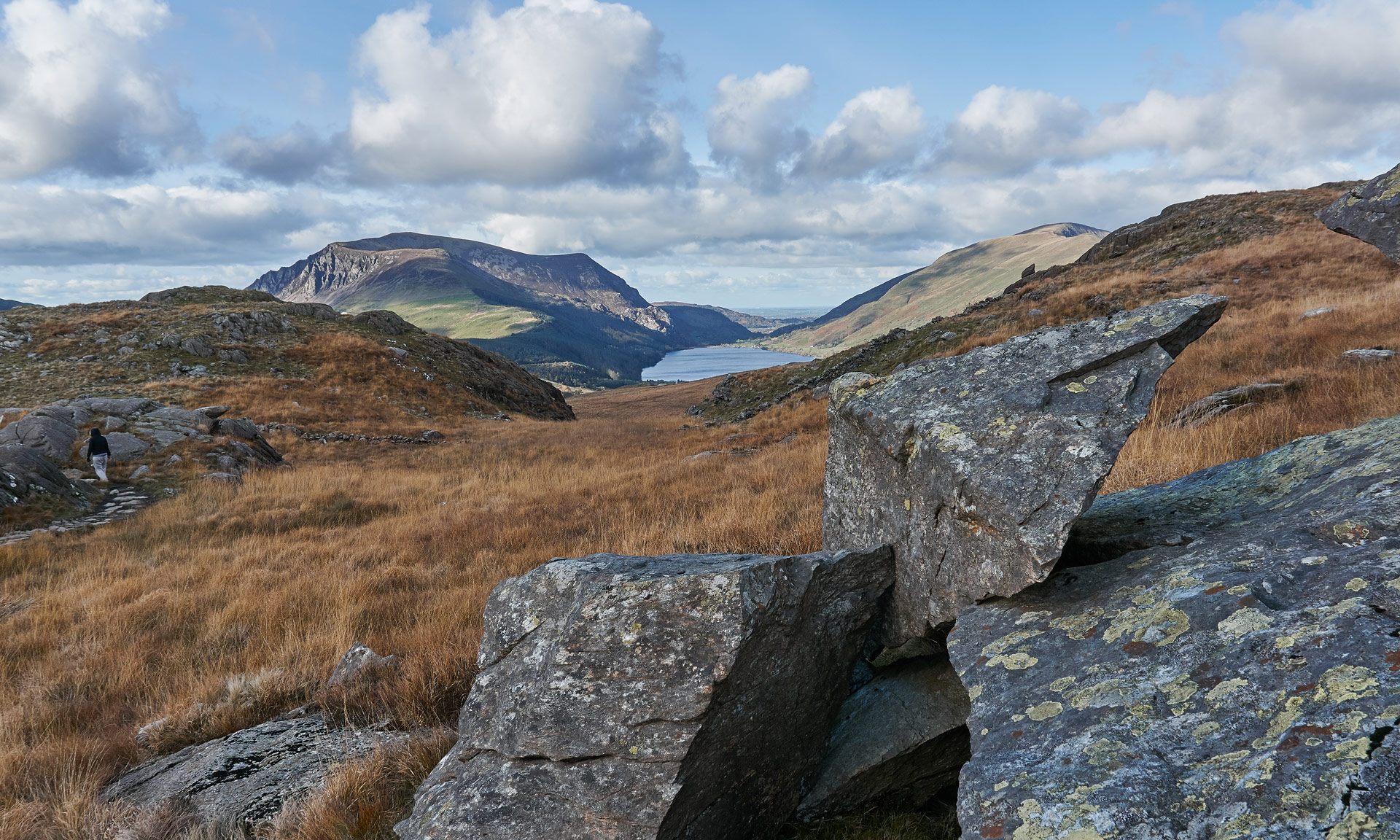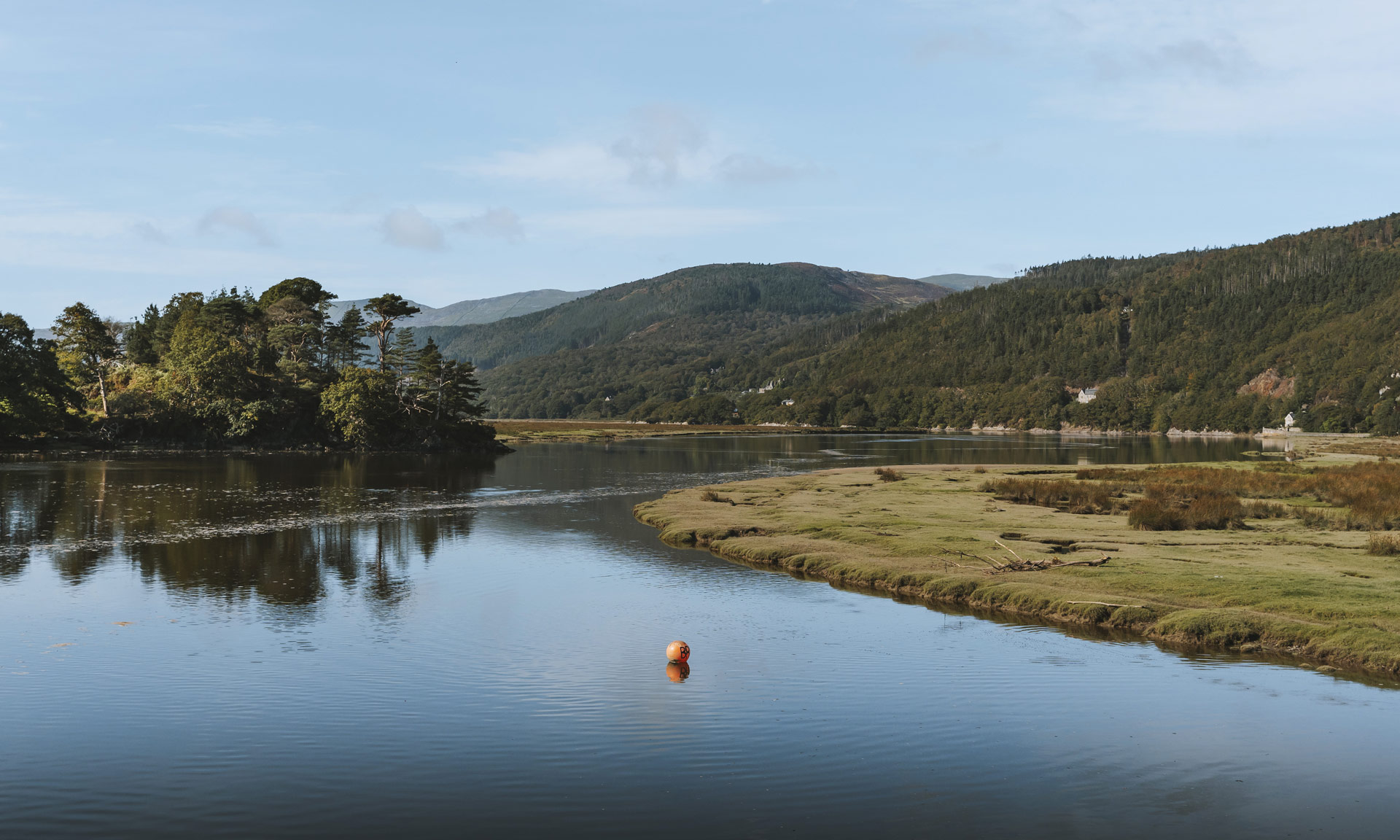


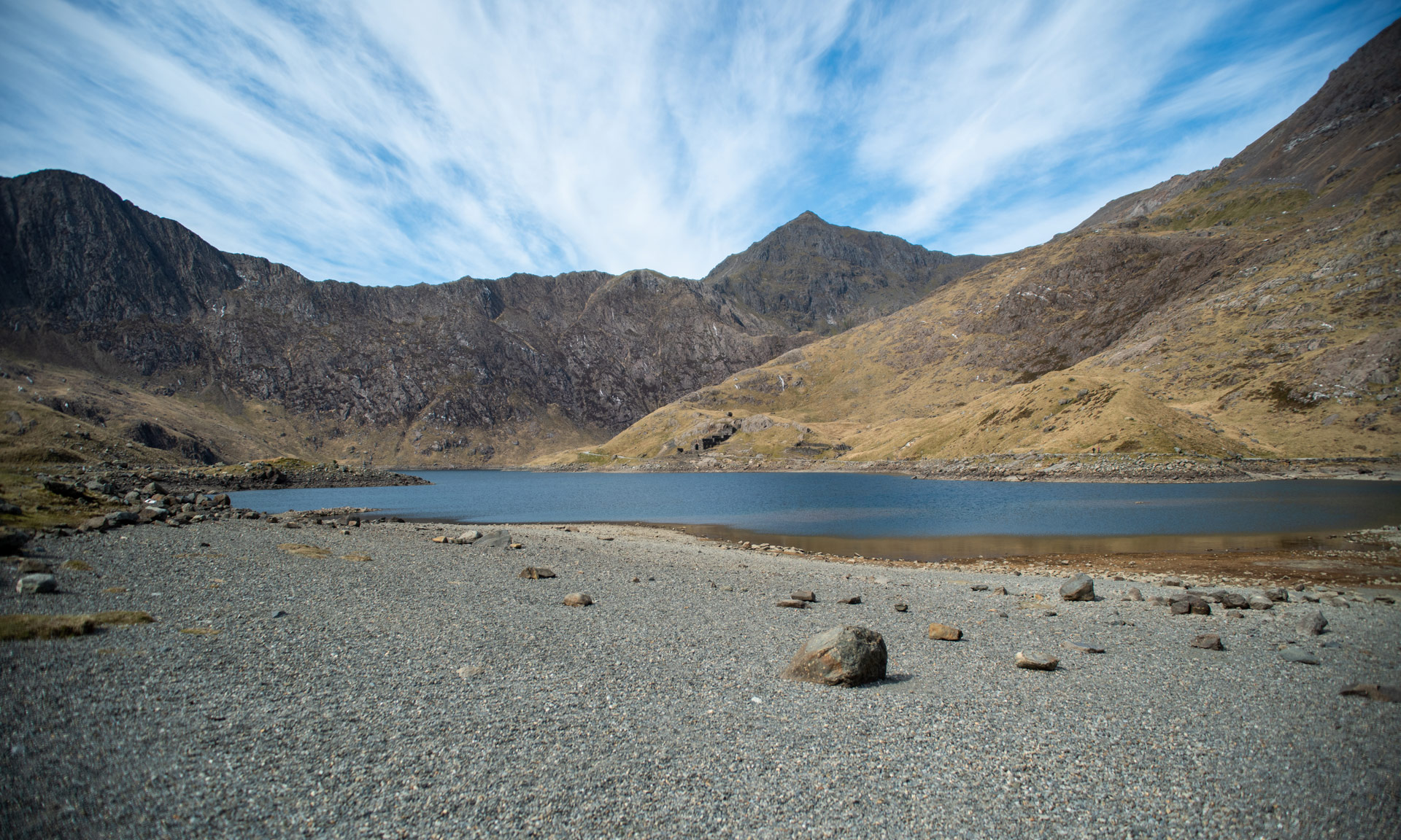
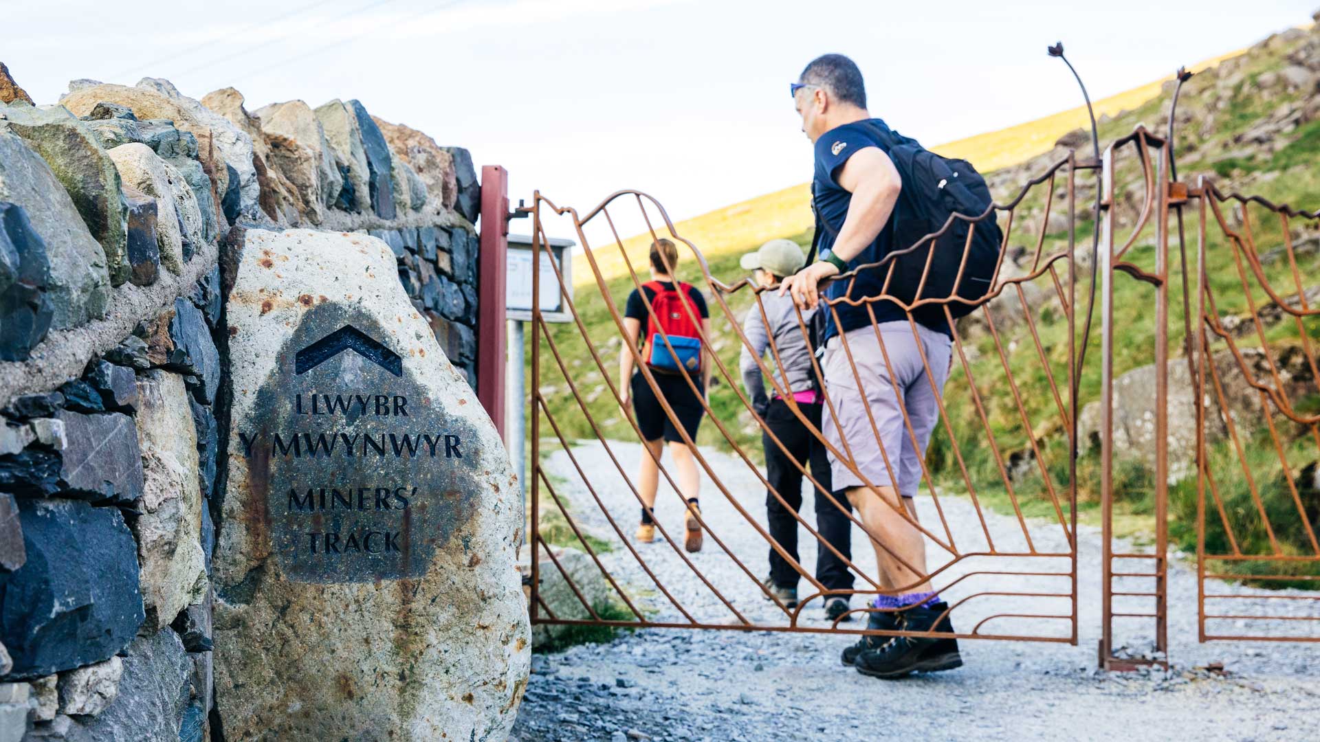
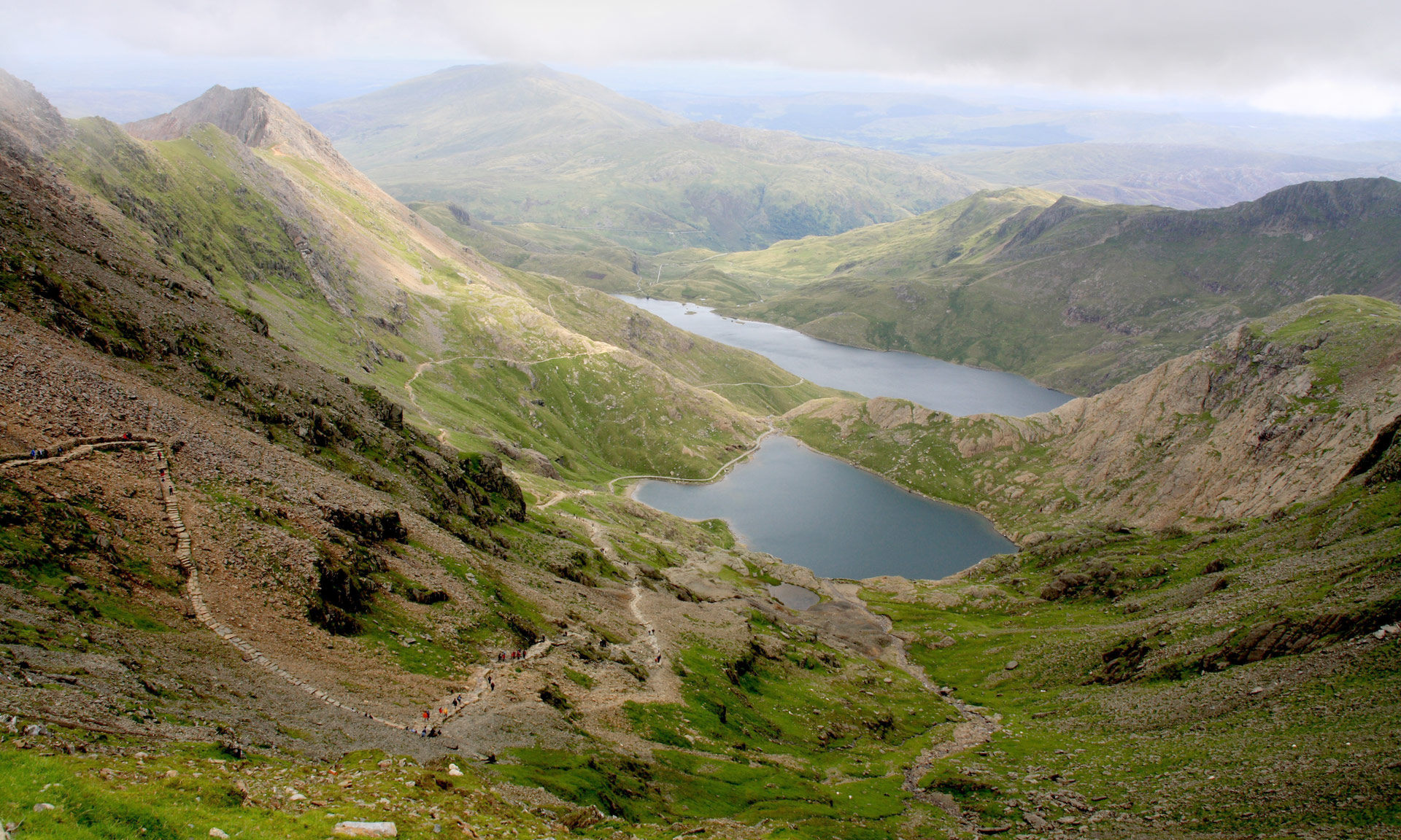
The Miners’ Track is one of two paths beginning at Pen y Pass. The track will take you along the shores of Llyn Teyrn, Llyn Llydaw and Glaslyn before ascending steeply to meet the Llanberis Path to the summit.
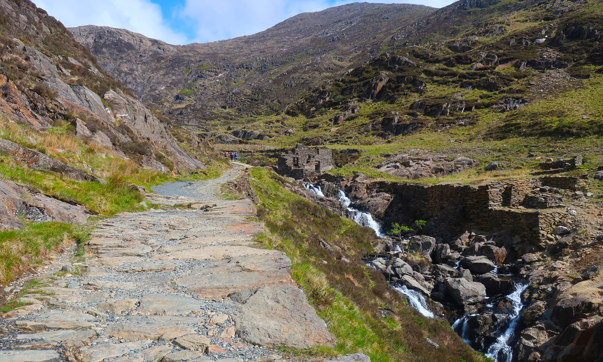
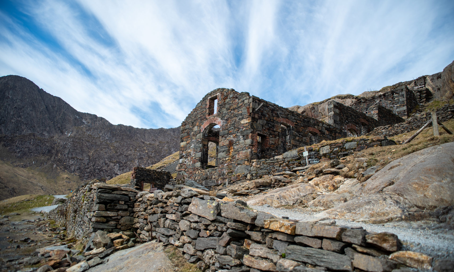
The Miners’ Track was initially built to serve the Britannia Copper Mine. Remains of the mine can be seen along the route.
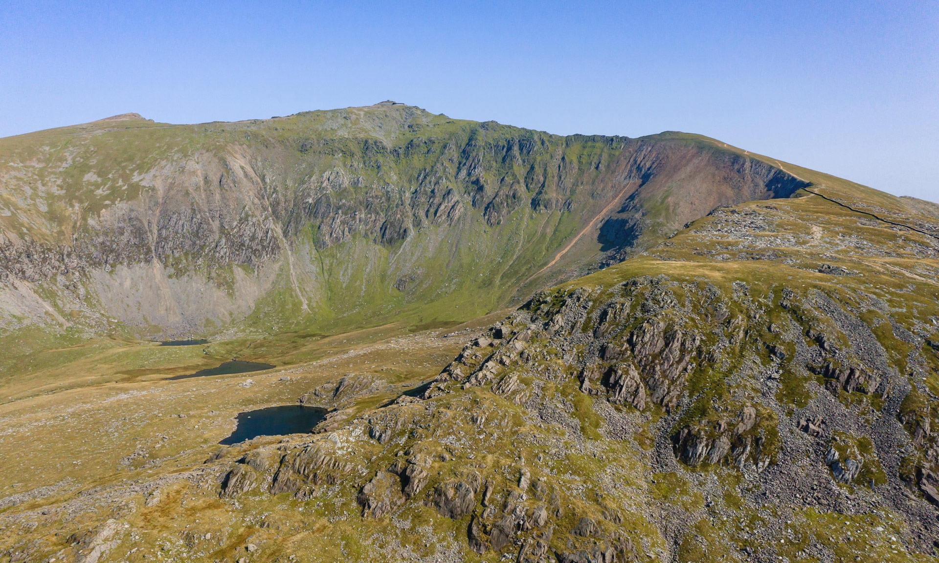
Reaching the summit of Yr Wyddfa is a challenging undertaking. The National Park Authority classifies all of the routes up Yr Wyddfa as hard, strenuous routes. A good level of fitness is required, and navigation skills are essential.
The Miners’ track is a popular path beginning from Pen y Pass. The last half of the route is a challenging and steep ascent that requires navigating loose rock and scree.
Yr Wyddfa Ground Conditions Reports
For up-to-date weather and ground conditions on Yr Wyddfa , please visit the official Yr Wyddfa Live website below.
Have you recently visited Yr Wyddfa?
We would greatly appreciate 10 minutes of your time to let us know your thoughts by completing our visitor survey.


© Crown copyright and database rights OS AC0000825604. Use of this data is subject to terms and conditions.
The National Park Authority has categorises this route as Hard/Strenuous. It is only suitable for experienced country walkers with a good level of fitness. Navigation skills are essential. The terrain will include steep hills and rough country and may include some sections of scrambling. Full hill walking gear is essential, and specialist equipment might be required under winter conditions.
Start / Finish
Pen-y-Pass Car Park (SH 647 557)
Relevant OS Map
OS Explorer OL17 (Yr Wyddfa and the Conwy Valley)
Sherpa’r Wyddfa
The Sherpa’r Wyddfa bus service is a convenient service that stops at the trailhead of all six routes to the summit of Yr Wyddfa.
For the Miners’ Track, the best connections are from Nant Peris or Llanberis. There are also great connections from Betws y Coed, Caernarfon or Bangor.
Miners’ Track Bus Stop
Pen y Pass
For more information about getting to Yr Wyddfa, read the National Park Authority’s comprehensive ‘Getting to Yr Wyddfa’ guide or visit the Sherpa’r Wyddfa website.
Parking
Pen y Pass Car Park
Information on Pen y Pass Car Park
If you’re using the Sherpa’r Wyddfa bus service:
Nant Peris Car Park on Google Maps
Llanberis Car Park on Google Maps
Betws y Coed Car Park on Google Maps
Caernarfon Car Park on Google Maps
If you’re parking at Bangor, there are numerous car parks to choose from.
Yr Wyddfa Ground Conditions Reports are now available on the Yr Wyddfa Live website.
Yr Wyddfa is a challenging mountain to hike. Venturing to the summit should not be taken lightly. Factors such as the seasons, your fitness level, your mountaineering skills, your preparations beforehand, and the mountain’s popularity can all affect your experience of Yr Wyddfa.
Charitable walks and events on Yr Wyddfa are a popular way to raise funds for various charities and organisations. However, you should always take care when taking part in such events. Climbing Yr Wyddfa isn’t an easy undertaking.
The National Park Authority has categorised this route as a suitable route for a 4-Wheel Electric Bike. 4-Wheel Electric Bikes are specially-designed, all-terrain mobility Bikes that allow people with difficulty walking to access some of the National Park’s most fantastic areas.
The National Park Authority offer a 4-Wheel Electric Biker hire service free of charge, but donations are welcome. Donate
Important
Only certain sections of the Miners Track are suitable for the 4-Wheel Electric Bike. When you request a hire, an officer from The National Park Authority will inform you of the suitable and unsuitable sections of the route.
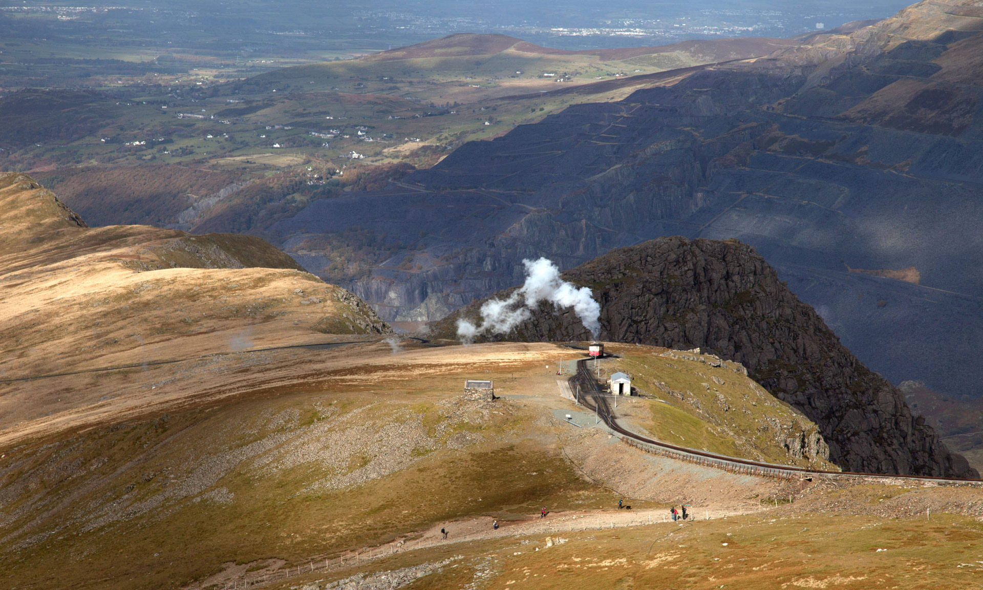
As you begin your journey on the Miners’ track, you may notice a pipeline stretching down the valley on your left. This pipeline supplies water from Llyn Llydaw to the Cwm Dyli hydro-electric power station at Nant Gwynant. It is the oldest power station in Britain.
Cwm Dyli power station was initially built to supply electricity for an electric railway through Nant Gwynant. The railway was intended to connect slate quarries and mines in the area, but the work was abandoned. However, in 1906, the power station was commissioned to supply electricity to the National Grid and has been active ever since.
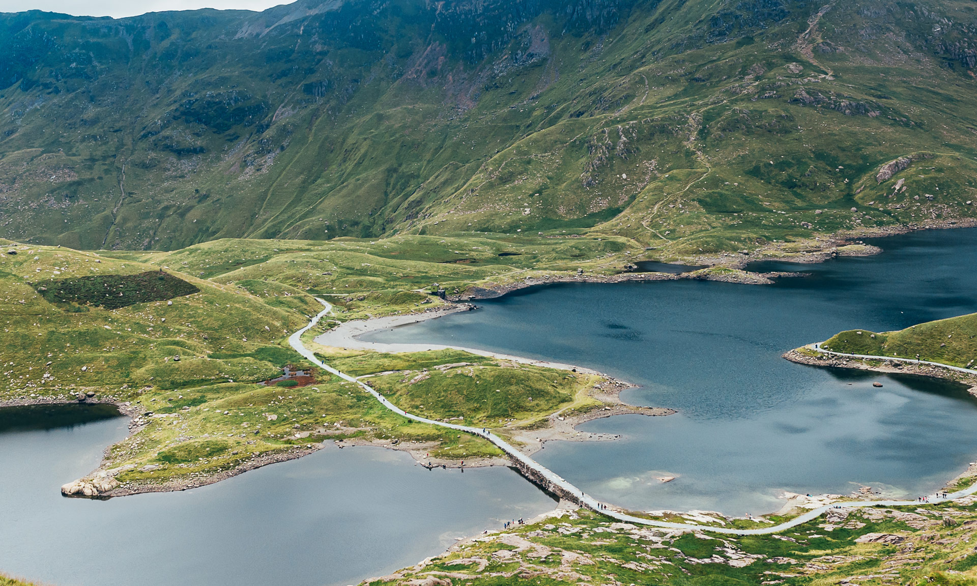
As you ascend the Miners’ Track, you will cross the causeway at Llyn Llydaw. Before being built in 1853, miners of the Britannia Copper Mine used a raft to carry horses and wagons full of copper across the lake. The building work unveiled a prehistoric oak dug-out canoe, measuring 10ft by 2ft providing evidence that man has roamed this mountain for thousands of years.
The Miners’ Track was built to serve the Britannia Copper Mine. However, the track wasn’t the route used to serve the mine initially. Before the route’s existence, miners lugged copper up the eastern slopes of Yr Wyddfa to be drawn by horse and sledge down to Llyn Cwellyn. From Llyn Cwellyn, the copper was taken by horse and cart to Caernarfon.
When the road from Llanberis to Pen y Pass was built, the Miners’ Track was a more practical choice to transport the copper from the mine.
The remains of the Britannia Copper Mine include the crushing mill and some of the miner’s barracks.
Looking across Glaslyn, to the left of the summit of Yr Wyddfa, you will see Bwlch y Saethau (Pass of the Arrows). Miners from Beddgelert used to climb over this pass with the help of iron chains fixed to the rock.
Legend has it that this is where an arrow struck King Arthur in battle. He was then carried to the shore of Llyn Llydaw, where a boat with three maidens came to take him away through the mist to Afallon (Avalon).